Victorian Exhibition Hall, Dorset County Museum
Introduction
The photograph on this page of Victorian Exhibition Hall, Dorset County Museum by Mark Percy as part of the Geograph project.
The Geograph project started in 2005 with the aim of publishing, organising and preserving representative images for every square kilometre of Great Britain, Ireland and the Isle of Man.

There are currently over 7.5m images from over 14,400 individuals and you can help contribute to the project by visiting https://www.geograph.org.uk
Victorian Exhibition Hall, Dorset County Museum
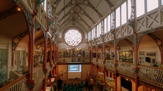
Image: © Mark Percy Taken: 22 Jun 2016
The Dorset County Museum was founded in 1846 and covers the county's history and environment. It was built in 1881 on the former site of the George Inn.
Images are licensed for reuse under creativecommons.org/licenses/by-sa/2.0
Image Location


Leaflet Map data © OpenStreetMap
Latitude
50.715647
Longitude
-2.437486