Trowell: fields by the former canal
Introduction
The photograph on this page of Trowell: fields by the former canal by John Sutton as part of the Geograph project.
The Geograph project started in 2005 with the aim of publishing, organising and preserving representative images for every square kilometre of Great Britain, Ireland and the Isle of Man.

There are currently over 7.5m images from over 14,400 individuals and you can help contribute to the project by visiting https://www.geograph.org.uk
Trowell: fields by the former canal
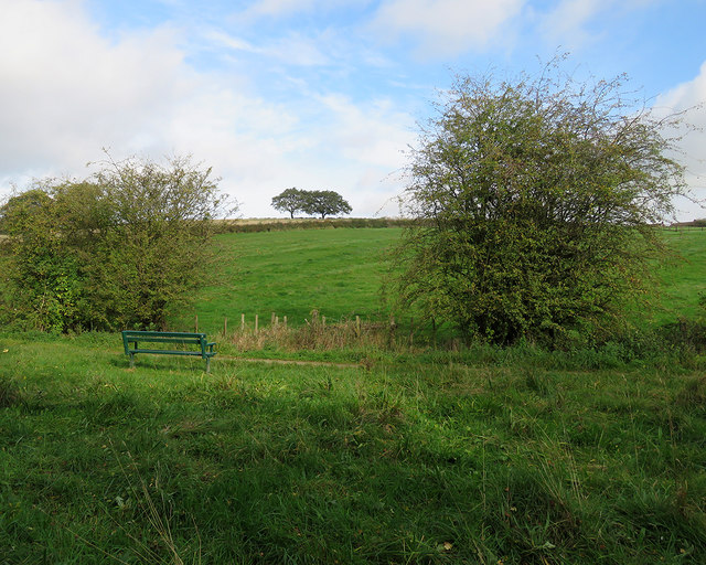
Image: © John Sutton Taken: 14 Oct 2017
The Nottingham Canal was abandoned eighty years ago and this stretch is now a nature reserve. The ridges and furrows of the mediaeval fields show clearly on the slopes north of this filled-in section of the canal.
Images are licensed for reuse under creativecommons.org/licenses/by-sa/2.0
Image Location
Latitude
52.956558
Longitude
-1.282624