Piperdam housing estate
Introduction
The photograph on this page of Piperdam housing estate by David Hawgood as part of the Geograph project.
The Geograph project started in 2005 with the aim of publishing, organising and preserving representative images for every square kilometre of Great Britain, Ireland and the Isle of Man.

There are currently over 7.5m images from over 14,400 individuals and you can help contribute to the project by visiting https://www.geograph.org.uk
Piperdam housing estate
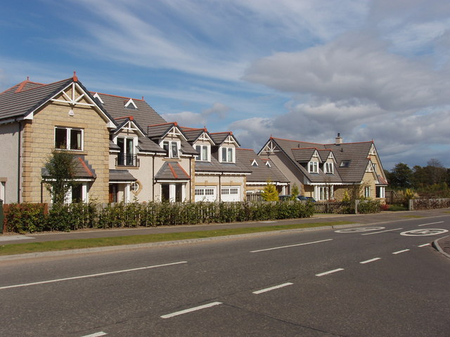
Image: © David Hawgood Taken: 8 Sep 2007
This area was quite a surprise when we drove into it, a rather ugly suburban housing estate out in the country.
Images are licensed for reuse under creativecommons.org/licenses/by-sa/2.0
Image Location


Leaflet Map data © OpenStreetMap
Latitude
56.503852
Longitude
-3.135238