Redundant stile
Introduction
The photograph on this page of Redundant stile by Peter Holmes as part of the Geograph project.
The Geograph project started in 2005 with the aim of publishing, organising and preserving representative images for every square kilometre of Great Britain, Ireland and the Isle of Man.

There are currently over 7.5m images from over 14,400 individuals and you can help contribute to the project by visiting https://www.geograph.org.uk
Redundant stile
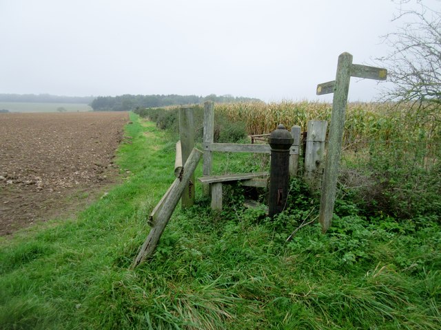
Image: © Peter Holmes Taken: 14 Oct 2017
Monarch's Way follows public footpath 398 adjacent to ploughed field. OS map appears to show the right of way passing through the corn field to the east of the path. Another example of realignment with actuality.
Images are licensed for reuse under creativecommons.org/licenses/by-sa/2.0
Image Location
Latitude
50.890639
Longitude
-0.678278