Earl's Hall Junior School
Introduction
The photograph on this page of Earl's Hall Junior School by Bob Bowyer as part of the Geograph project.
The Geograph project started in 2005 with the aim of publishing, organising and preserving representative images for every square kilometre of Great Britain, Ireland and the Isle of Man.

There are currently over 7.5m images from over 14,400 individuals and you can help contribute to the project by visiting https://www.geograph.org.uk
Earl's Hall Junior School
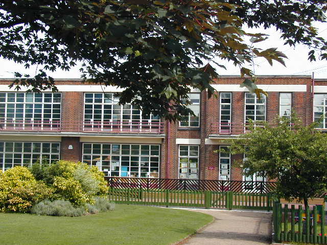
Image: © Bob Bowyer Taken: Unknown
Built in the 1920s to serve the housing which developed around here at the time. The style reflects the healthy light and airy theories of education at that time.
Images are licensed for reuse under creativecommons.org/licenses/by-sa/2.0
Image Location
Latitude
51.556415
Longitude
0.690342