Confluence of the Shaltie Burn with the Rosehaugh Burn
Introduction
The photograph on this page of Confluence of the Shaltie Burn with the Rosehaugh Burn by valenta as part of the Geograph project.
The Geograph project started in 2005 with the aim of publishing, organising and preserving representative images for every square kilometre of Great Britain, Ireland and the Isle of Man.

There are currently over 7.5m images from over 14,400 individuals and you can help contribute to the project by visiting https://www.geograph.org.uk
Confluence of the Shaltie Burn with the Rosehaugh Burn
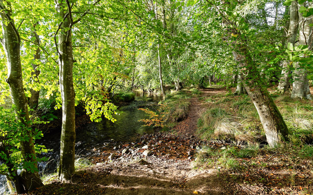
Image: © valenta Taken: 15 Oct 2017
The confluence of the Shaltie Burn with the Rosehaugh Burn, where it continues downstream and out to sea as the Avoch Burn.
Images are licensed for reuse under creativecommons.org/licenses/by-sa/2.0
Image Location
Latitude
57.570228
Longitude
-4.182514