Cherry Tree Drive
Introduction
The photograph on this page of Cherry Tree Drive by E Gammie as part of the Geograph project.
The Geograph project started in 2005 with the aim of publishing, organising and preserving representative images for every square kilometre of Great Britain, Ireland and the Isle of Man.

There are currently over 7.5m images from over 14,400 individuals and you can help contribute to the project by visiting https://www.geograph.org.uk
Cherry Tree Drive
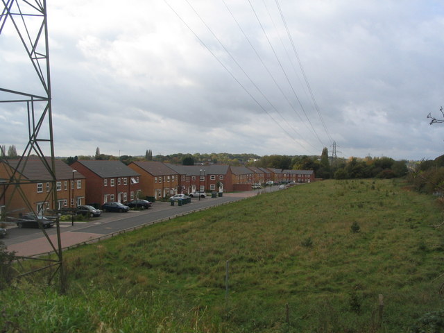
Image: © E Gammie Taken: 14 Oct 2017
The northern edge of the small estate built on the site of the former Sir Henry Parkes primary school between 2014-16. A small green space has been left between the power lines and the railway line.
Images are licensed for reuse under creativecommons.org/licenses/by-sa/2.0
Image Location
Latitude
52.396949
Longitude
-1.56009