Bridle path and paddock
Introduction
The photograph on this page of Bridle path and paddock by John Sutton as part of the Geograph project.
The Geograph project started in 2005 with the aim of publishing, organising and preserving representative images for every square kilometre of Great Britain, Ireland and the Isle of Man.

There are currently over 7.5m images from over 14,400 individuals and you can help contribute to the project by visiting https://www.geograph.org.uk
Bridle path and paddock
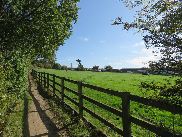
Image: © John Sutton Taken: 14 Oct 2017
On the network of paths and bridle ways which link Awsworth and Cossall to Strelley (ahead) and the western edge of Nottingham. Oldmoor Farmhouse is in the centre of a picture taken on a perfect mid-October morning.
Images are licensed for reuse under creativecommons.org/licenses/by-sa/2.0
Image Location
Latitude
52.975566
Longitude
-1.259822