Warbstow: near Lower Town
Introduction
The photograph on this page of Warbstow: near Lower Town by Martin Bodman as part of the Geograph project.
The Geograph project started in 2005 with the aim of publishing, organising and preserving representative images for every square kilometre of Great Britain, Ireland and the Isle of Man.

There are currently over 7.5m images from over 14,400 individuals and you can help contribute to the project by visiting https://www.geograph.org.uk
Warbstow: near Lower Town
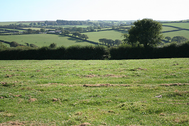
Image: © Martin Bodman Taken: 15 Sep 2007
Field path to Nether Scarsick. The hamlet of Treneglos is hidden in the group of trees near the skyline
Images are licensed for reuse under creativecommons.org/licenses/by-sa/2.0
Image Location


Leaflet Map data © OpenStreetMap
Latitude
50.679667
Longitude
-4.537415