City redevelopment in Birmingham
Introduction
The photograph on this page of City redevelopment in Birmingham by Roger D Kidd as part of the Geograph project.
The Geograph project started in 2005 with the aim of publishing, organising and preserving representative images for every square kilometre of Great Britain, Ireland and the Isle of Man.

There are currently over 7.5m images from over 14,400 individuals and you can help contribute to the project by visiting https://www.geograph.org.uk
City redevelopment in Birmingham
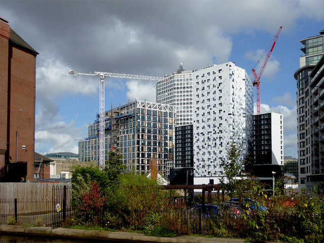
Image: © Roger D Kidd Taken: 28 Sep 2017
Looking north-east from the Worcester and Birmingham Canal at the north end of Holliday Street.
Images are licensed for reuse under creativecommons.org/licenses/by-sa/2.0
Image Location
Latitude
52.477111
Longitude
-1.906023