Mud Flats, Cofflete Creek
Introduction
The photograph on this page of Mud Flats, Cofflete Creek by Gwyn Jones as part of the Geograph project.
The Geograph project started in 2005 with the aim of publishing, organising and preserving representative images for every square kilometre of Great Britain, Ireland and the Isle of Man.

There are currently over 7.5m images from over 14,400 individuals and you can help contribute to the project by visiting https://www.geograph.org.uk
Mud Flats, Cofflete Creek
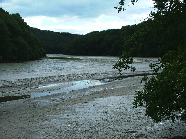
Image: © Gwyn Jones Taken: 17 Sep 2005
Meandering through tidal mudflats a freshwater outflow passes south through the lower reaches of Cofflete Creek, between Western and Wembury Woods.
Images are licensed for reuse under creativecommons.org/licenses/by-sa/2.0
Image Location


Leaflet Map data © OpenStreetMap
Latitude
50.336408
Longitude
-4.045895