London Colney & St Albans from air, 2001
Introduction
The photograph on this page of London Colney & St Albans from air, 2001 by Derek Harper as part of the Geograph project.
The Geograph project started in 2005 with the aim of publishing, organising and preserving representative images for every square kilometre of Great Britain, Ireland and the Isle of Man.

There are currently over 7.5m images from over 14,400 individuals and you can help contribute to the project by visiting https://www.geograph.org.uk
London Colney & St Albans from air, 2001
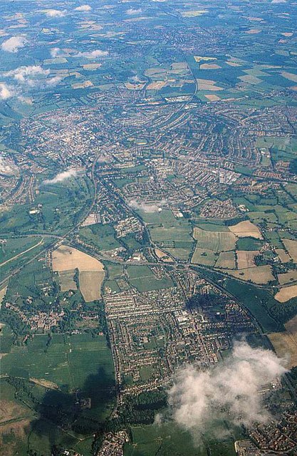
Image: © Derek Harper Taken: 29 May 2001
The A414 winds across the image between London Colney (lower centre) and St Albans (upper left of centre).
Images are licensed for reuse under creativecommons.org/licenses/by-sa/2.0
Image Location
Latitude
51.732391
Longitude
-0.305745