Bridleway to Betteshanger
Introduction
The photograph on this page of Bridleway to Betteshanger by Robin Webster as part of the Geograph project.
The Geograph project started in 2005 with the aim of publishing, organising and preserving representative images for every square kilometre of Great Britain, Ireland and the Isle of Man.

There are currently over 7.5m images from over 14,400 individuals and you can help contribute to the project by visiting https://www.geograph.org.uk
Bridleway to Betteshanger
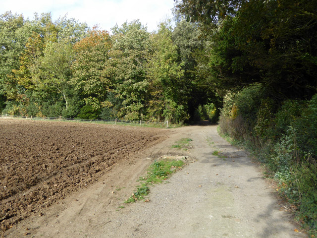
Image: © Robin Webster Taken: 14 Oct 2017
This is a distorted Roman road, the straight line being a bit to the right in the wood here and crossing in the wood.
Images are licensed for reuse under creativecommons.org/licenses/by-sa/2.0
Image Location
Latitude
51.219945
Longitude
1.308034