The southern tip of the Ness Islands
Introduction
The photograph on this page of The southern tip of the Ness Islands by Julian Paren as part of the Geograph project.
The Geograph project started in 2005 with the aim of publishing, organising and preserving representative images for every square kilometre of Great Britain, Ireland and the Isle of Man.

There are currently over 7.5m images from over 14,400 individuals and you can help contribute to the project by visiting https://www.geograph.org.uk
The southern tip of the Ness Islands
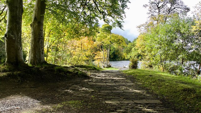
Image: © Julian Paren Taken: 13 Oct 2017
The Ness Islands are a great asset for Inverness and any visitor should be persuaded to walk the length of them. This is as far as you can go away from the city centre. A far cry from a city centre!
Images are licensed for reuse under creativecommons.org/licenses/by-sa/2.0
Image Location


Leaflet Map data © OpenStreetMap
Latitude
57.461589
Longitude
-4.234222