Strawberry How
Introduction
The photograph on this page of Strawberry How by Alexander P Kapp as part of the Geograph project.
The Geograph project started in 2005 with the aim of publishing, organising and preserving representative images for every square kilometre of Great Britain, Ireland and the Isle of Man.

There are currently over 7.5m images from over 14,400 individuals and you can help contribute to the project by visiting https://www.geograph.org.uk
Strawberry How
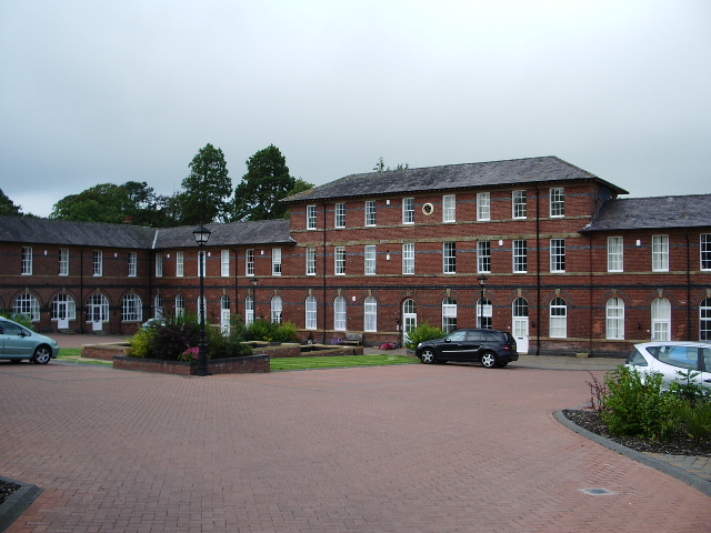
Image: © Alexander P Kapp Taken: 4 Sep 2007
Once this building was Cockermouth Grammar School, until 1991 when it was closed, it was then converted into an business park, when in 2004 it had another change when it was converted into housing
Images are licensed for reuse under creativecommons.org/licenses/by-sa/2.0
Image Location
Latitude
54.656288
Longitude
-3.350835