View from Footpath to Broomfield Farm
Introduction
The photograph on this page of View from Footpath to Broomfield Farm by Marathon as part of the Geograph project.
The Geograph project started in 2005 with the aim of publishing, organising and preserving representative images for every square kilometre of Great Britain, Ireland and the Isle of Man.

There are currently over 7.5m images from over 14,400 individuals and you can help contribute to the project by visiting https://www.geograph.org.uk
View from Footpath to Broomfield Farm
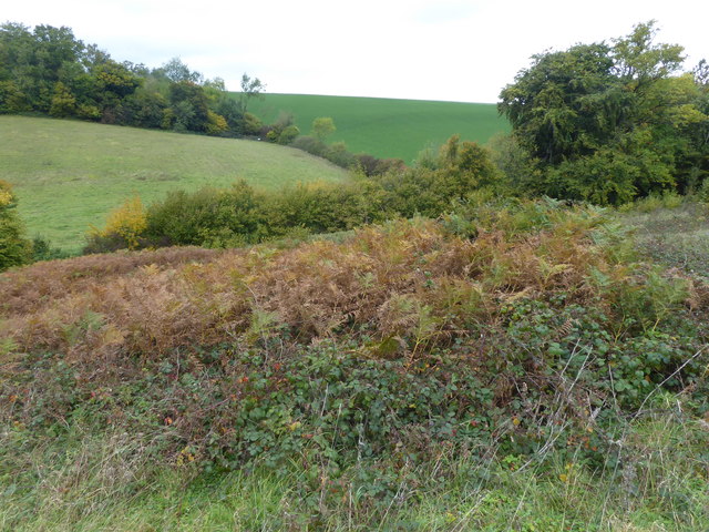
Image: © Marathon Taken: 13 Oct 2017
On the map a footpath is marked from Faversham Road to Broomfield Farm, but the footpath sign is very hard to find as is the footpath itself. Only a slightly trampled track in the grass indicates its route. This view looks across Faversham Road to Loose Down Road which rises up on the other side of the hedge to the right of the sloping field.
Images are licensed for reuse under creativecommons.org/licenses/by-sa/2.0
Image Location
Latitude
51.240915
Longitude
0.864463