Field alongside Faversham Road
Introduction
The photograph on this page of Field alongside Faversham Road by Marathon as part of the Geograph project.
The Geograph project started in 2005 with the aim of publishing, organising and preserving representative images for every square kilometre of Great Britain, Ireland and the Isle of Man.

There are currently over 7.5m images from over 14,400 individuals and you can help contribute to the project by visiting https://www.geograph.org.uk
Field alongside Faversham Road
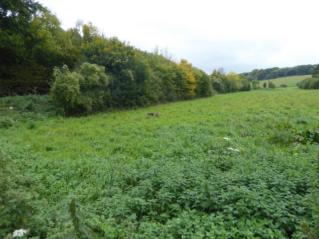
Image: © Marathon Taken: 13 Oct 2017
This is the view from near the junction of Loose Down Road with Faversham Road. Faversham Road is to the left of the hedge. Hurst Wood is on the right horizon.
Images are licensed for reuse under creativecommons.org/licenses/by-sa/2.0
Image Location
Latitude
51.241199
Longitude
0.863908