Nether Lochaber Village Hall
Introduction
The photograph on this page of Nether Lochaber Village Hall by Oliver Dixon as part of the Geograph project.
The Geograph project started in 2005 with the aim of publishing, organising and preserving representative images for every square kilometre of Great Britain, Ireland and the Isle of Man.

There are currently over 7.5m images from over 14,400 individuals and you can help contribute to the project by visiting https://www.geograph.org.uk
Nether Lochaber Village Hall
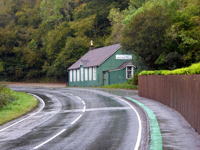
Image: © Oliver Dixon Taken: 11 Oct 2017
Beside the busy A82 main road. The Caledonia Way (route 78 of the National Cycle Network) here follows the footway, demarcated by the green strip.
Images are licensed for reuse under creativecommons.org/licenses/by-sa/2.0
Image Location
Latitude
56.702532
Longitude
-5.205913