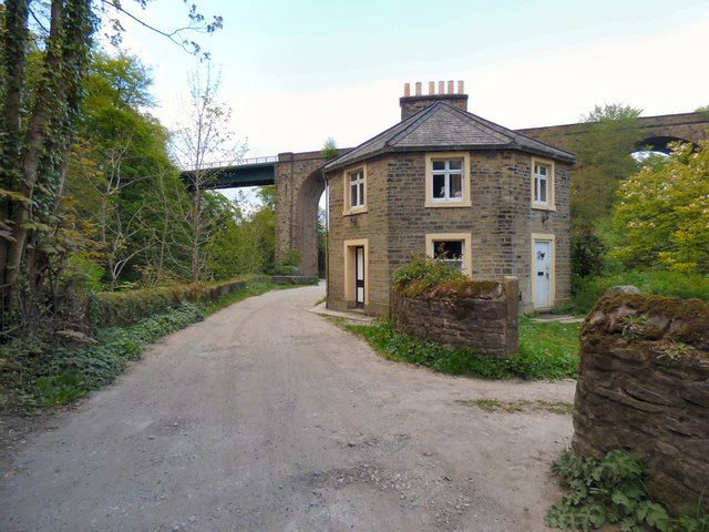
Floodgates Cottage
Introduction
The photograph on this page of Floodgates Cottage by Gerald England as part of the Geograph project.
The Geograph project started in 2005 with the aim of publishing, organising and preserving representative images for every square kilometre of Great Britain, Ireland and the Isle of Man.
There are currently over 7.5m images from over 14,400 individuals and you can help contribute to the project by visiting https://www.geograph.org.uk

Image: © Gerald England Taken: 8 May 2017
The Grade II listed building http://www.britishlistedbuildings.co.uk/101242211-flood-gates-cottage-marple-north-ward was built for Samuel Oldknow in 1801. It originally comprised two cottages. One was occupied by the tollkeeper as the road was at the time a major route through the valley. The other was occupied by the sluiceman who operated the sluices which allowed water from the river Goyt to flow into Roman Lakes. The lakes provided water for Mellor Mill which prior to being destroyed by fire in 1892 was the largest cotton spinning mill in England. In the early 1900s the cottages were used as tearooms.
Image Location


