Information board, St Thomas's Church, Maesglas, Newport
Introduction
The photograph on this page of Information board, St Thomas's Church, Maesglas, Newport by Jaggery as part of the Geograph project.
The Geograph project started in 2005 with the aim of publishing, organising and preserving representative images for every square kilometre of Great Britain, Ireland and the Isle of Man.

There are currently over 7.5m images from over 14,400 individuals and you can help contribute to the project by visiting https://www.geograph.org.uk
Information board, St Thomas's Church, Maesglas, Newport
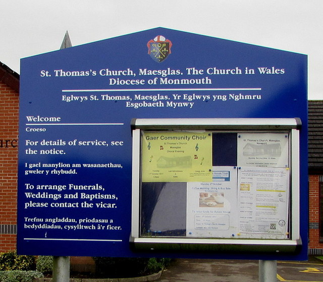
Image: © Jaggery Taken: 11 Oct 2017
The board with text in English and Welsh is located here. http://www.geograph.org.uk/photo/5566249
Images are licensed for reuse under creativecommons.org/licenses/by-sa/2.0
Image Location
Latitude
51.569105
Longitude
-3.015117