Fenced-off demolition site in Maesglas, Newport
Introduction
The photograph on this page of Fenced-off demolition site in Maesglas, Newport by Jaggery as part of the Geograph project.
The Geograph project started in 2005 with the aim of publishing, organising and preserving representative images for every square kilometre of Great Britain, Ireland and the Isle of Man.

There are currently over 7.5m images from over 14,400 individuals and you can help contribute to the project by visiting https://www.geograph.org.uk
Fenced-off demolition site in Maesglas, Newport
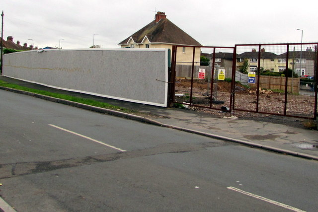
Image: © Jaggery Taken: 11 Oct 2017
The Old Cardiff Road side of the demolished Ebbw Bridge club viewed in October 2017. This http://www.geograph.org.uk/photo/2533809 August 2011 photo shows the club.
Images are licensed for reuse under creativecommons.org/licenses/by-sa/2.0
Image Location
Latitude
51.569466
Longitude
-3.014981