Kimberley keystone
Introduction
The photograph on this page of Kimberley keystone by John Sutton as part of the Geograph project.
The Geograph project started in 2005 with the aim of publishing, organising and preserving representative images for every square kilometre of Great Britain, Ireland and the Isle of Man.

There are currently over 7.5m images from over 14,400 individuals and you can help contribute to the project by visiting https://www.geograph.org.uk
Kimberley keystone
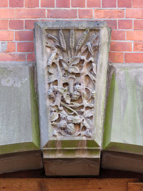
Image: © John Sutton Taken: 8 Sep 2017
Malting barley, hops and the letter H over a doorway to the former Hardy & Hanson's Kimberley Brewery. At the time this picture was taken the brewery was being converted to flats - see Image
Images are licensed for reuse under creativecommons.org/licenses/by-sa/2.0
Image Location
Latitude
53.000378
Longitude
-1.260143