Valley below Owlacombe Cross
Introduction
The photograph on this page of Valley below Owlacombe Cross by Derek Harper as part of the Geograph project.
The Geograph project started in 2005 with the aim of publishing, organising and preserving representative images for every square kilometre of Great Britain, Ireland and the Isle of Man.

There are currently over 7.5m images from over 14,400 individuals and you can help contribute to the project by visiting https://www.geograph.org.uk
Valley below Owlacombe Cross
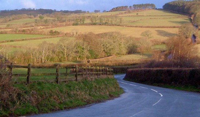
Image: © Derek Harper Taken: 1 Apr 2006
In part, a detail of Image] and a glimpse of the farmland to the left. On the right, the road up to the open moor and Cold East Cross.
Images are licensed for reuse under creativecommons.org/licenses/by-sa/2.0
Image Location
Latitude
50.540927
Longitude
-3.748472