Approaching Newton Gill
Introduction
The photograph on this page of Approaching Newton Gill by Chris Heaton as part of the Geograph project.
The Geograph project started in 2005 with the aim of publishing, organising and preserving representative images for every square kilometre of Great Britain, Ireland and the Isle of Man.

There are currently over 7.5m images from over 14,400 individuals and you can help contribute to the project by visiting https://www.geograph.org.uk
Approaching Newton Gill
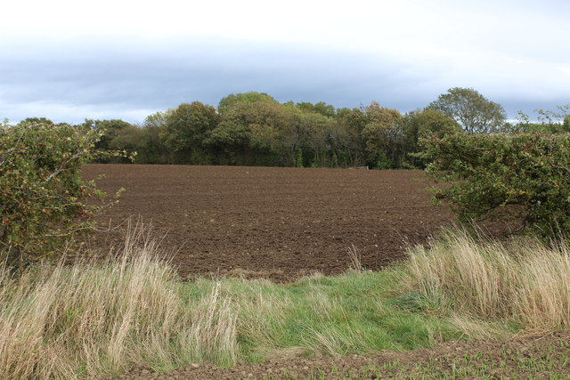
Image: © Chris Heaton Taken: 7 Oct 2017
A public footpath crosses the field towards the strip of woodland that conceals the waters of Newton Gill. All traces of the way have been obliterated under the plough.
Images are licensed for reuse under creativecommons.org/licenses/by-sa/2.0
Image Location
Latitude
54.299908
Longitude
-1.691573