Farmland southeast of Alphington
Introduction
The photograph on this page of Farmland southeast of Alphington by Derek Harper as part of the Geograph project.
The Geograph project started in 2005 with the aim of publishing, organising and preserving representative images for every square kilometre of Great Britain, Ireland and the Isle of Man.

There are currently over 7.5m images from over 14,400 individuals and you can help contribute to the project by visiting https://www.geograph.org.uk
Farmland southeast of Alphington
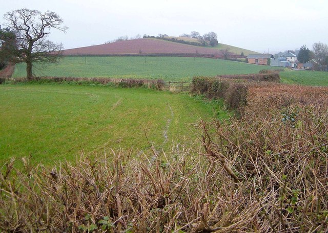
Image: © Derek Harper Taken: 31 Mar 2006
From further west than Image] along Exminster footpath 60. The hedge in the foreground and that to the left are followed by the boundary between Exeter (left) and Teignbridge districts. On the right is Matford House. Knowle Hill is straight ahead.
Images are licensed for reuse under creativecommons.org/licenses/by-sa/2.0
Image Location
Latitude
50.692853
Longitude
-3.529418