Pentre Farm
Introduction
The photograph on this page of Pentre Farm by Richard Law as part of the Geograph project.
The Geograph project started in 2005 with the aim of publishing, organising and preserving representative images for every square kilometre of Great Britain, Ireland and the Isle of Man.

There are currently over 7.5m images from over 14,400 individuals and you can help contribute to the project by visiting https://www.geograph.org.uk
Pentre Farm
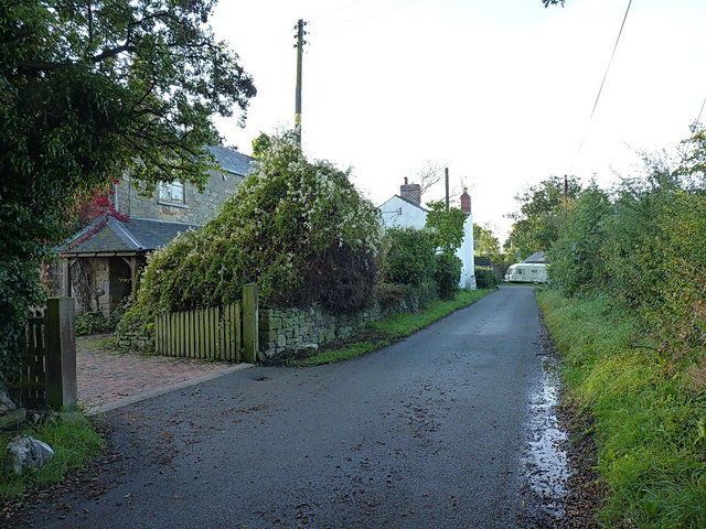
Image: © Richard Law Taken: 19 Sep 2017
This narrow lane leads past the farm, turns sharp right (by the caravan) and heads off for Image where it peters out.
Images are licensed for reuse under creativecommons.org/licenses/by-sa/2.0
Image Location
Latitude
52.964357
Longitude
-3.026212