Lillington Trig point
Introduction
The photograph on this page of Lillington Trig point by David Stowell as part of the Geograph project.
The Geograph project started in 2005 with the aim of publishing, organising and preserving representative images for every square kilometre of Great Britain, Ireland and the Isle of Man.

There are currently over 7.5m images from over 14,400 individuals and you can help contribute to the project by visiting https://www.geograph.org.uk
Lillington Trig point
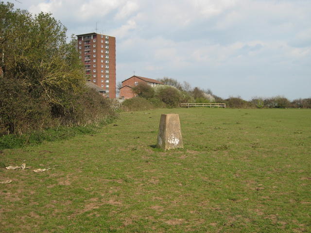
Image: © David Stowell Taken: 7 Apr 2007
Situated 96m a.s.l. This is in the field behind Buckley Road with the prominent Eden Court blocks of flats trying to hide behind the hedge.
Images are licensed for reuse under creativecommons.org/licenses/by-sa/2.0
Image Location
Latitude
52.298322
Longitude
-1.513117