Barrier on former hospital site
Introduction
The photograph on this page of Barrier on former hospital site by Robin Webster as part of the Geograph project.
The Geograph project started in 2005 with the aim of publishing, organising and preserving representative images for every square kilometre of Great Britain, Ireland and the Isle of Man.

There are currently over 7.5m images from over 14,400 individuals and you can help contribute to the project by visiting https://www.geograph.org.uk
Barrier on former hospital site
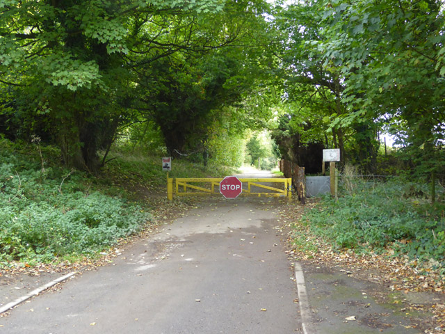
Image: © Robin Webster Taken: 8 Oct 2017
The old St. Augustine's Hospital site has been redeveloped on this side of the barrier, with a great many houses, but not on the far side of the barrier. The mental hospital had a very spread-out site, and several ranges of buildings remain in a derelict state beyond the barrier. Other than the 'Stop', the only legible sign says 'Private property'.
Images are licensed for reuse under creativecommons.org/licenses/by-sa/2.0
Image Location
Latitude
51.245287
Longitude
1.033549