Fitzjames Avenue, Croydon
Introduction
The photograph on this page of Fitzjames Avenue, Croydon by Stephen McKay as part of the Geograph project.
The Geograph project started in 2005 with the aim of publishing, organising and preserving representative images for every square kilometre of Great Britain, Ireland and the Isle of Man.

There are currently over 7.5m images from over 14,400 individuals and you can help contribute to the project by visiting https://www.geograph.org.uk
Fitzjames Avenue, Croydon
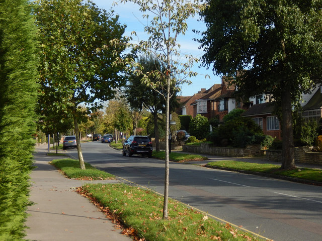
Image: © Stephen McKay Taken: 6 Oct 2017
Seen from the junction with Sandilands, Fitzjames Avenue is one of the roads that constitute the upmarket Whitgift Foundation Estate. The houses on the right back on to Trinity School's playing field.
Images are licensed for reuse under creativecommons.org/licenses/by-sa/2.0
Image Location
Latitude
51.372981
Longitude
-0.073644