Meadow Street, Wolverhampton
Introduction
The photograph on this page of Meadow Street, Wolverhampton by Richard Vince as part of the Geograph project.
The Geograph project started in 2005 with the aim of publishing, organising and preserving representative images for every square kilometre of Great Britain, Ireland and the Isle of Man.

There are currently over 7.5m images from over 14,400 individuals and you can help contribute to the project by visiting https://www.geograph.org.uk
Meadow Street, Wolverhampton
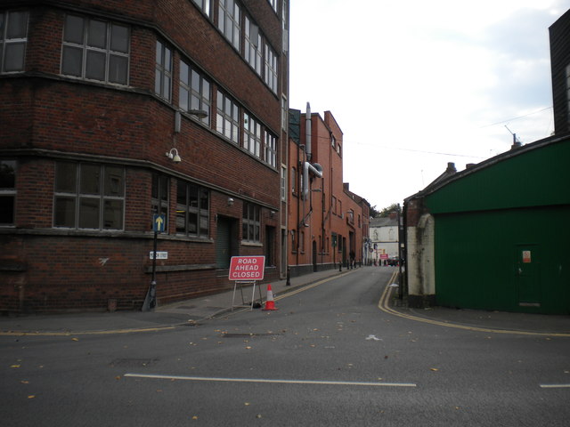
Image: © Richard Vince Taken: 24 Sep 2017
Squeezing past the Banks's brewery between Bath Road (foreground) and Chapel Ash (which was closed for resurfacing).
Images are licensed for reuse under creativecommons.org/licenses/by-sa/2.0
Image Location
Latitude
52.585754
Longitude
-2.138991