Crossroads in Shirehampton
Introduction
The photograph on this page of Crossroads in Shirehampton by Bill Boaden as part of the Geograph project.
The Geograph project started in 2005 with the aim of publishing, organising and preserving representative images for every square kilometre of Great Britain, Ireland and the Isle of Man.

There are currently over 7.5m images from over 14,400 individuals and you can help contribute to the project by visiting https://www.geograph.org.uk
Crossroads in Shirehampton
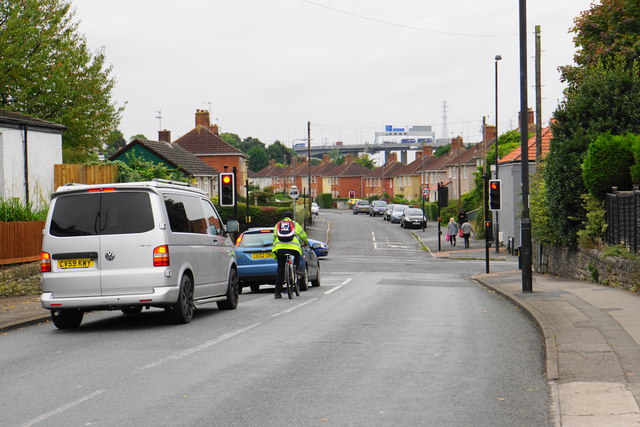
Image: © Bill Boaden Taken: 27 Sep 2017
Kings Weston Avenue meets Lower High Street. In the background, you can see the M5 as it crosses the River Avon.
Images are licensed for reuse under creativecommons.org/licenses/by-sa/2.0
Image Location


Leaflet Map data © OpenStreetMap
Latitude
51.493918
Longitude
-2.681852