National Cycle Route 61
Introduction
The photograph on this page of National Cycle Route 61 by Des Blenkinsopp as part of the Geograph project.
The Geograph project started in 2005 with the aim of publishing, organising and preserving representative images for every square kilometre of Great Britain, Ireland and the Isle of Man.

There are currently over 7.5m images from over 14,400 individuals and you can help contribute to the project by visiting https://www.geograph.org.uk
National Cycle Route 61
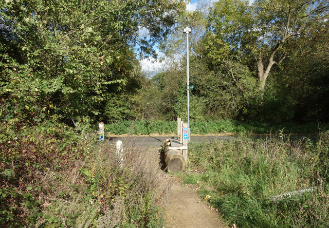
Image: © Des Blenkinsopp Taken: 5 Oct 2017
Leaving an off road section to join a country lane west of Iver. Route 61 runs for 34 miles between Maidenhead and Rye House near Ware in Hertfordshire.
Images are licensed for reuse under creativecommons.org/licenses/by-sa/2.0
Image Location
Latitude
51.511205
Longitude
-0.541512