Lissheffield Road, Loughgall.
Introduction
The photograph on this page of Lissheffield Road, Loughgall. by P Flannagan as part of the Geograph project.
The Geograph project started in 2005 with the aim of publishing, organising and preserving representative images for every square kilometre of Great Britain, Ireland and the Isle of Man.

There are currently over 7.5m images from over 14,400 individuals and you can help contribute to the project by visiting https://www.geograph.org.uk
Lissheffield Road, Loughgall.
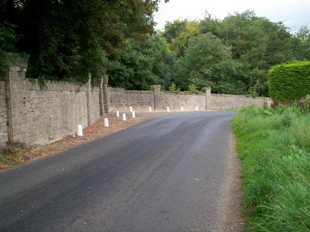
Image: © P Flannagan Taken: 14 Sep 2007
The stone built wall along the roadside is part of the perimeter of the Research Facility of the Department of Agriculture and Rural Development (NI), Loughgall.
Images are licensed for reuse under creativecommons.org/licenses/by-sa/2.0
Image Location
Latitude
54.403699
Longitude
-6.576351