Park Street houses, Clydach Vale
Introduction
The photograph on this page of Park Street houses, Clydach Vale by Jaggery as part of the Geograph project.
The Geograph project started in 2005 with the aim of publishing, organising and preserving representative images for every square kilometre of Great Britain, Ireland and the Isle of Man.

There are currently over 7.5m images from over 14,400 individuals and you can help contribute to the project by visiting https://www.geograph.org.uk
Park Street houses, Clydach Vale
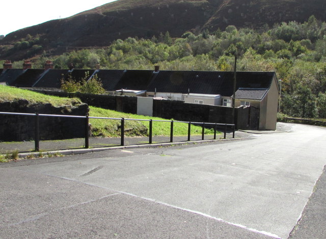
Image: © Jaggery Taken: 5 Oct 2017
Below Howard Street. The houses are above the stream Nant Clydach, a tributary of the Rhondda River.
Images are licensed for reuse under creativecommons.org/licenses/by-sa/2.0
Image Location
Latitude
51.625246
Longitude
-3.484872