Bede House Lane
Introduction
The photograph on this page of Bede House Lane by Jonathan Thacker as part of the Geograph project.
The Geograph project started in 2005 with the aim of publishing, organising and preserving representative images for every square kilometre of Great Britain, Ireland and the Isle of Man.

There are currently over 7.5m images from over 14,400 individuals and you can help contribute to the project by visiting https://www.geograph.org.uk
Bede House Lane
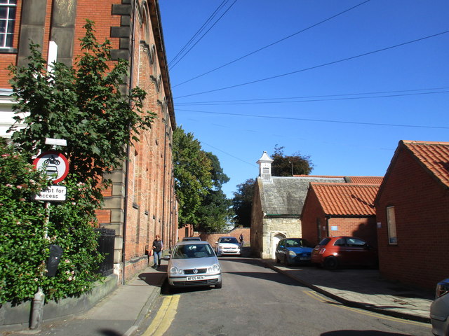
Image: © Jonathan Thacker Taken: 6 Oct 2017
The former Bede House Chapel, now Newark Odinist Temple, is on the right. It dates from about 1556 and stood at the centre of contemporary bedehouses (almshouses). the large building on the left is Barnbygate Methodist church of about 1845.
Images are licensed for reuse under creativecommons.org/licenses/by-sa/2.0
Image Location
Latitude
53.075706
Longitude
-0.806113