Howard Street bus stop and shelter, Clydach Vale
Introduction
The photograph on this page of Howard Street bus stop and shelter, Clydach Vale by Jaggery as part of the Geograph project.
The Geograph project started in 2005 with the aim of publishing, organising and preserving representative images for every square kilometre of Great Britain, Ireland and the Isle of Man.

There are currently over 7.5m images from over 14,400 individuals and you can help contribute to the project by visiting https://www.geograph.org.uk
Howard Street bus stop and shelter, Clydach Vale
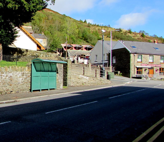
Image: © Jaggery Taken: 5 Oct 2017
This stop near the corner of Marian Street is for buses to Tonypandy. The Clydach Vale pub http://www.geograph.org.uk/photo/5560862 is on the right.
Images are licensed for reuse under creativecommons.org/licenses/by-sa/2.0
Image Location
Latitude
51.62664
Longitude
-3.481306