Approaching Christow Bridge, 2000
Introduction
The photograph on this page of Approaching Christow Bridge, 2000 by Derek Harper as part of the Geograph project.
The Geograph project started in 2005 with the aim of publishing, organising and preserving representative images for every square kilometre of Great Britain, Ireland and the Isle of Man.

There are currently over 7.5m images from over 14,400 individuals and you can help contribute to the project by visiting https://www.geograph.org.uk
Approaching Christow Bridge, 2000
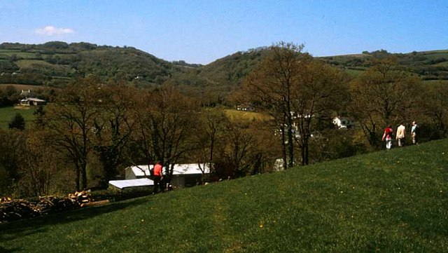
Image: © Derek Harper Taken: 1 May 2000
On Doddiscombsleigh footpath 5, with the Teign valley ahead. Across it is the narrow Rookery Brook valley below Bridford.
Images are licensed for reuse under creativecommons.org/licenses/by-sa/2.0
Image Location
Latitude
50.668292
Longitude
-3.642396