B3180 at Canterbury Green
Introduction
The photograph on this page of B3180 at Canterbury Green by Derek Harper as part of the Geograph project.
The Geograph project started in 2005 with the aim of publishing, organising and preserving representative images for every square kilometre of Great Britain, Ireland and the Isle of Man.

There are currently over 7.5m images from over 14,400 individuals and you can help contribute to the project by visiting https://www.geograph.org.uk
B3180 at Canterbury Green
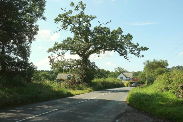
Image: © Derek Harper Taken: 10 Aug 2017
From close to where Image was taken, with the B road passing Canterbury Green Farm. On the left are signs indicating Colaton Raleigh bridleway 22 and footpath 23.
Images are licensed for reuse under creativecommons.org/licenses/by-sa/2.0
Image Location
Latitude
50.694068
Longitude
-3.351058