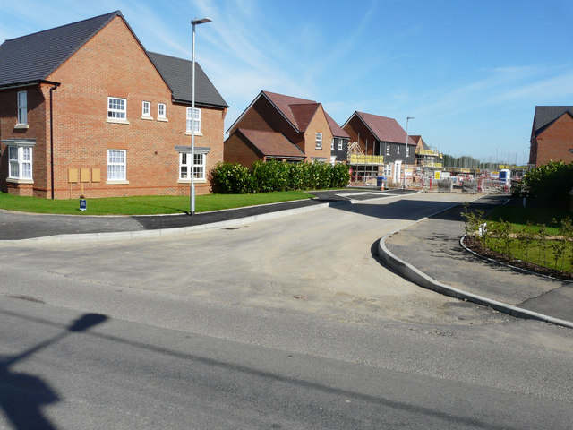
Lambourne Way
Introduction
The photograph on this page of Lambourne Way by John Baker as part of the Geograph project.
The Geograph project started in 2005 with the aim of publishing, organising and preserving representative images for every square kilometre of Great Britain, Ireland and the Isle of Man.
There are currently over 7.5m images from over 14,400 individuals and you can help contribute to the project by visiting https://www.geograph.org.uk

Image: © John Baker Taken: 10 Sep 2017
Planning permission was granted by Dover District Council under application number DOV/14/00842 for an “outline application for the erection of 73 residential dwellings and related infrastructure, together with the creation of meadow-land (existing buildings to be demolished) (all matters reserved). The location was described as land at Salvatori, north and south of Grove Road. This road is part of Preston Grange, which is the name of this housing development.

