Ashpits Pond
Introduction
The photograph on this page of Ashpits Pond by Nigel Davies as part of the Geograph project.
The Geograph project started in 2005 with the aim of publishing, organising and preserving representative images for every square kilometre of Great Britain, Ireland and the Isle of Man.

There are currently over 7.5m images from over 14,400 individuals and you can help contribute to the project by visiting https://www.geograph.org.uk
Ashpits Pond
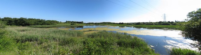
Image: © Nigel Davies Taken: 18 Jun 2017
A panoramic view of the west end of Ashpits Pond. This pond was once part of the former Burry Port power station but is now a Local Nature Reserve.
Images are licensed for reuse under creativecommons.org/licenses/by-sa/2.0
Image Location
Latitude
51.686716
Longitude
-4.226731