Former trolleybus turning circle, Moxley
Introduction
The photograph on this page of Former trolleybus turning circle, Moxley by Richard Vince as part of the Geograph project.
The Geograph project started in 2005 with the aim of publishing, organising and preserving representative images for every square kilometre of Great Britain, Ireland and the Isle of Man.

There are currently over 7.5m images from over 14,400 individuals and you can help contribute to the project by visiting https://www.geograph.org.uk
Former trolleybus turning circle, Moxley
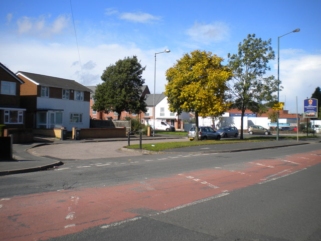
Image: © Richard Vince Taken: 22 Sep 2017
This turning circle was used by Wolverhampton Corporation trolleybuses on route 47 (effectively a shortworking of the Darlaston route) from 29 October 1949, when the 47 was extended here, until motorbuses took over on 8 August 1965. It appears to have been altered in shape since then, presumably in connection with the construction of the houses visible on the left.
Images are licensed for reuse under creativecommons.org/licenses/by-sa/2.0
Image Location
Latitude
52.559662
Longitude
-2.057632