Hessilhead from the air
Introduction
The photograph on this page of Hessilhead from the air by Thomas Nugent as part of the Geograph project.
The Geograph project started in 2005 with the aim of publishing, organising and preserving representative images for every square kilometre of Great Britain, Ireland and the Isle of Man.

There are currently over 7.5m images from over 14,400 individuals and you can help contribute to the project by visiting https://www.geograph.org.uk
Hessilhead from the air
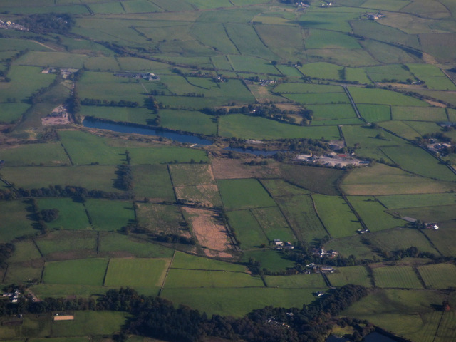
Image: © Thomas Nugent Taken: 25 Sep 2017
Hessilhead Farm is towards the lower right, the water is at the disused old mill quarry.
Images are licensed for reuse under creativecommons.org/licenses/by-sa/2.0
Image Location
Latitude
55.745503
Longitude
-4.579504