Cottage in Totnor
Introduction
The photograph on this page of Cottage in Totnor by Philip Halling as part of the Geograph project.
The Geograph project started in 2005 with the aim of publishing, organising and preserving representative images for every square kilometre of Great Britain, Ireland and the Isle of Man.

There are currently over 7.5m images from over 14,400 individuals and you can help contribute to the project by visiting https://www.geograph.org.uk
Cottage in Totnor
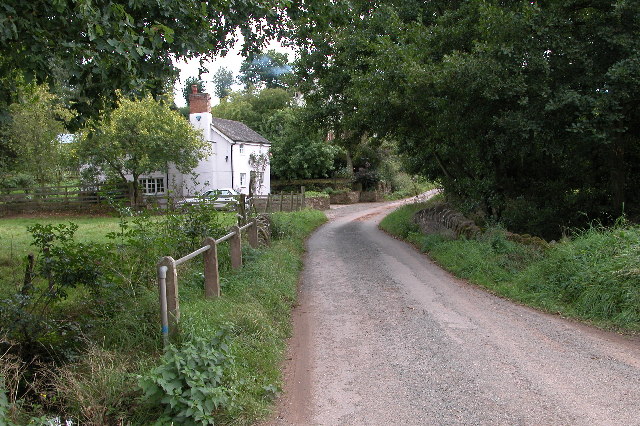
Image: © Philip Halling Taken: 17 Sep 2005
This is one of the few cottages in Totnor near Brockhampton. The Wye Valley Walk follows this lane on its route from the river's estuary to its source.
Images are licensed for reuse under creativecommons.org/licenses/by-sa/2.0
Image Location


Leaflet Map data © OpenStreetMap
Latitude
51.977255
Longitude
-2.587837