Slate piles, Braich quarry
Introduction
The photograph on this page of Slate piles, Braich quarry by Gordon Hatton as part of the Geograph project.
The Geograph project started in 2005 with the aim of publishing, organising and preserving representative images for every square kilometre of Great Britain, Ireland and the Isle of Man.

There are currently over 7.5m images from over 14,400 individuals and you can help contribute to the project by visiting https://www.geograph.org.uk
Slate piles, Braich quarry
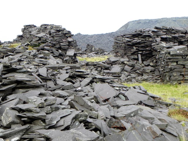
Image: © Gordon Hatton Taken: 26 Sep 2017
Some of this may just be waste material, but some is definitely 'built' and may represent the ruins of old buildings. Such areas are fascinating, even when one has little idea about the history or layout of the place.
Images are licensed for reuse under creativecommons.org/licenses/by-sa/2.0
Image Location


Leaflet Map data © OpenStreetMap
Latitude
53.074186
Longitude
-4.225131