Part of the frontage of Thirsk and Sowerby Institute
Introduction
The photograph on this page of Part of the frontage of Thirsk and Sowerby Institute by Martin Dawes as part of the Geograph project.
The Geograph project started in 2005 with the aim of publishing, organising and preserving representative images for every square kilometre of Great Britain, Ireland and the Isle of Man.

There are currently over 7.5m images from over 14,400 individuals and you can help contribute to the project by visiting https://www.geograph.org.uk
Part of the frontage of Thirsk and Sowerby Institute
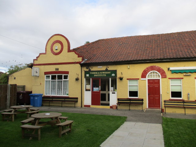
Image: © Martin Dawes Taken: 8 Sep 2017
The Institute is a Friendly Society owned by its members and is a thriving social club. The route of the Swale Way passes the door
Images are licensed for reuse under creativecommons.org/licenses/by-sa/2.0
Image Location


Leaflet Map data © OpenStreetMap
Latitude
54.230571
Longitude
-1.343406