South side of St Peter, Wilcote
Introduction
The photograph on this page of South side of St Peter, Wilcote by Chris Brown as part of the Geograph project.
The Geograph project started in 2005 with the aim of publishing, organising and preserving representative images for every square kilometre of Great Britain, Ireland and the Isle of Man.

There are currently over 7.5m images from over 14,400 individuals and you can help contribute to the project by visiting https://www.geograph.org.uk
South side of St Peter, Wilcote
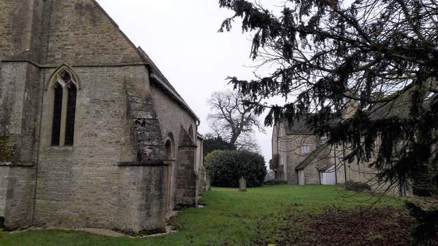
Image: © Chris Brown Taken: 26 Jan 2017
The south side of the churchyard abuts buildings of Wilcote Grange Farm, producing an unexpected enclosure in such a tiny hamlet. A blocked Norman doorway is visible on the south wall just beyond the near buttress.
Images are licensed for reuse under creativecommons.org/licenses/by-sa/2.0
Image Location
Latitude
51.834904
Longitude
-1.462979