Bull Ring and the Rotunda
Introduction
The photograph on this page of Bull Ring and the Rotunda by David Stowell as part of the Geograph project.
The Geograph project started in 2005 with the aim of publishing, organising and preserving representative images for every square kilometre of Great Britain, Ireland and the Isle of Man.

There are currently over 7.5m images from over 14,400 individuals and you can help contribute to the project by visiting https://www.geograph.org.uk
Bull Ring and the Rotunda
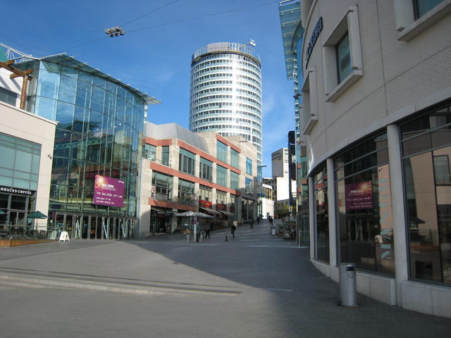
Image: © David Stowell Taken: 25 Apr 2007
Looking up through the new Bull Ring development towards the Rotunda. Refurbishment of the Rotunda, once a despised icon of the 1970s redevelopment of this area but now an icon for the modern rejuvenation, is nearing completion. The completely renovated building will be mixed use with the as yet uncompleted luxury apartments on the upper floors already fetching premium prices.
Images are licensed for reuse under creativecommons.org/licenses/by-sa/2.0
Image Location


Leaflet Map data © OpenStreetMap
Latitude
52.477282
Longitude
-1.895422