Croft of Balmuir
Introduction
The photograph on this page of Croft of Balmuir by Anne Burgess as part of the Geograph project.
The Geograph project started in 2005 with the aim of publishing, organising and preserving representative images for every square kilometre of Great Britain, Ireland and the Isle of Man.

There are currently over 7.5m images from over 14,400 individuals and you can help contribute to the project by visiting https://www.geograph.org.uk
Croft of Balmuir
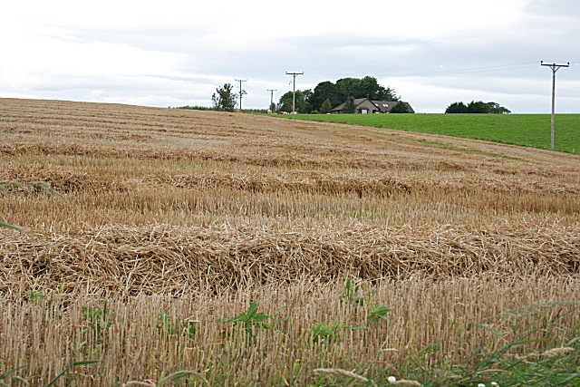
Image: © Anne Burgess Taken: 13 Sep 2007
Balmuir Croft was also known as the 'Beadle's Croft' because traditionally the beadle lived here. It is not clear whether the tenant was obliged to act as beadle, or whether the tenancy was a perk of being the beadle. The croft was seven acres, and the house stood at the northern apex of its ground. The field boundaries are on the mid-Victorian six-inch Ordnance Survey map, but the fences have been taken out so they are not on the modern maps. The croft is part of Hatton Castle estate, but the house was sold to the Water Board in the 1960s. They demolished it and built a reservoir where the house used to be. The modern house in this view was built later in a corner of a field across the road. My thanks to Eric Stephen for information, and to Claire Jordan and Alison Jaffrey for putting me in touch.
Images are licensed for reuse under creativecommons.org/licenses/by-sa/2.0
Image Location
Latitude
57.462914
Longitude
-2.490875