Bridge of Templand
Introduction
The photograph on this page of Bridge of Templand by Anne Burgess as part of the Geograph project.
The Geograph project started in 2005 with the aim of publishing, organising and preserving representative images for every square kilometre of Great Britain, Ireland and the Isle of Man.

There are currently over 7.5m images from over 14,400 individuals and you can help contribute to the project by visiting https://www.geograph.org.uk
Bridge of Templand
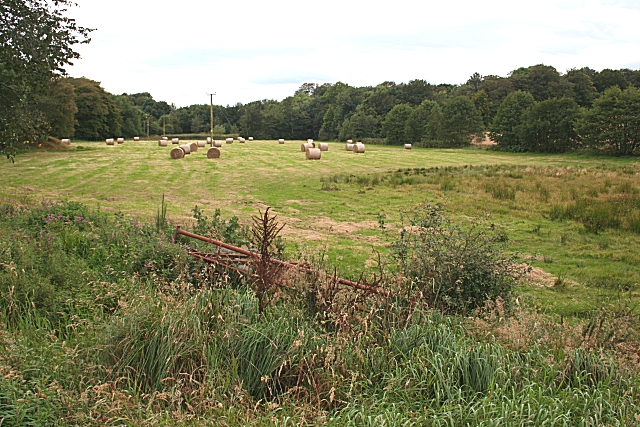
Image: © Anne Burgess Taken: 13 Sep 2007
This field is right by the River Ythan, and is probably prone to flooding in severe weather. The river flows along the far side of the field.
Images are licensed for reuse under creativecommons.org/licenses/by-sa/2.0
Image Location
Latitude
57.453929
Longitude
-2.491421