Path junction near Morpeth
Introduction
The photograph on this page of Path junction near Morpeth by Jim Barton as part of the Geograph project.
The Geograph project started in 2005 with the aim of publishing, organising and preserving representative images for every square kilometre of Great Britain, Ireland and the Isle of Man.

There are currently over 7.5m images from over 14,400 individuals and you can help contribute to the project by visiting https://www.geograph.org.uk
Path junction near Morpeth
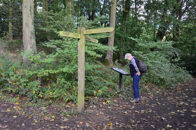
Image: © Jim Barton Taken: 28 Sep 2017
The riverside path to Bothal keeps right and the left-hand route is to Cottingwood.
Images are licensed for reuse under creativecommons.org/licenses/by-sa/2.0
Image Location
Latitude
55.17471
Longitude
-1.67544